
Mind-bending 3D Maps | Showreel

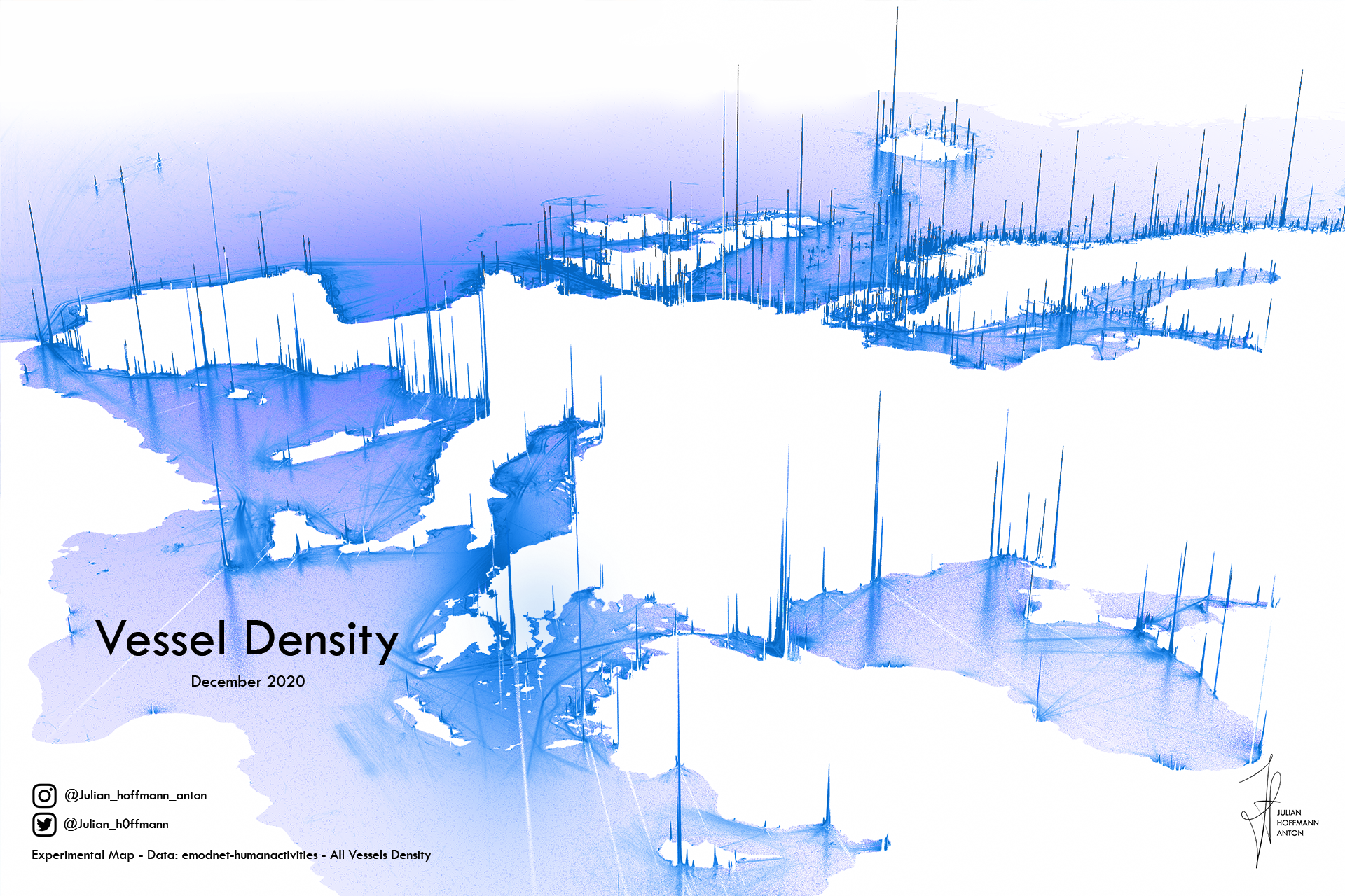
A Clear View of Global Shipping Traffic
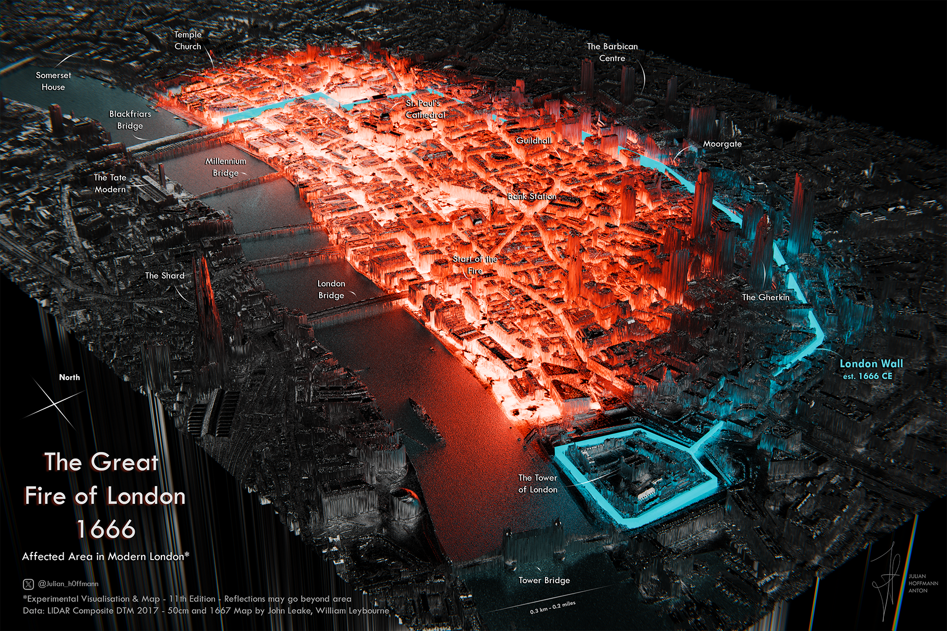
The Great Fire of London (1666)

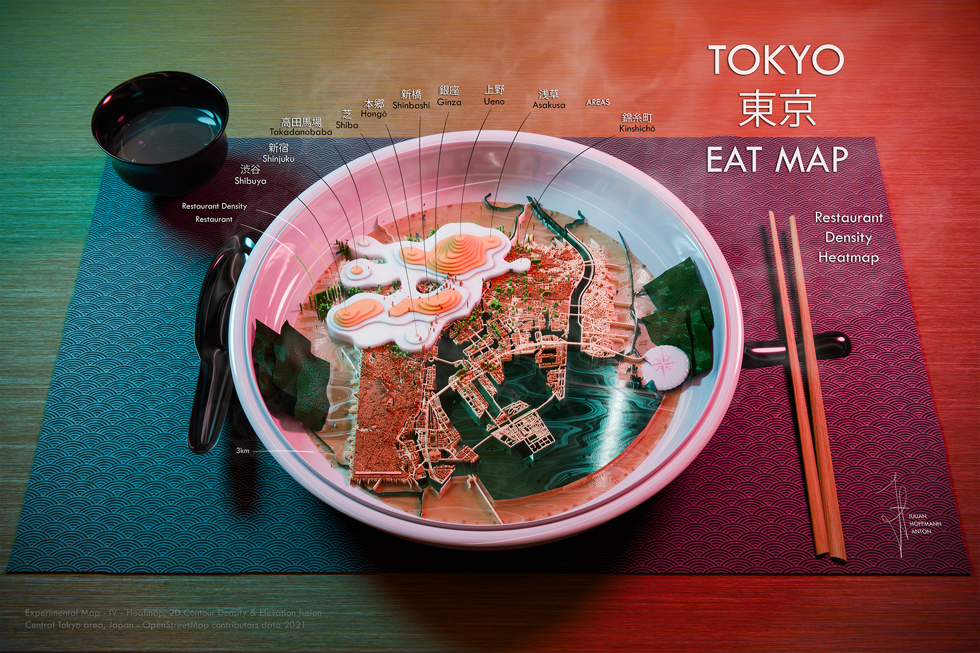
Tokyo Eat Map

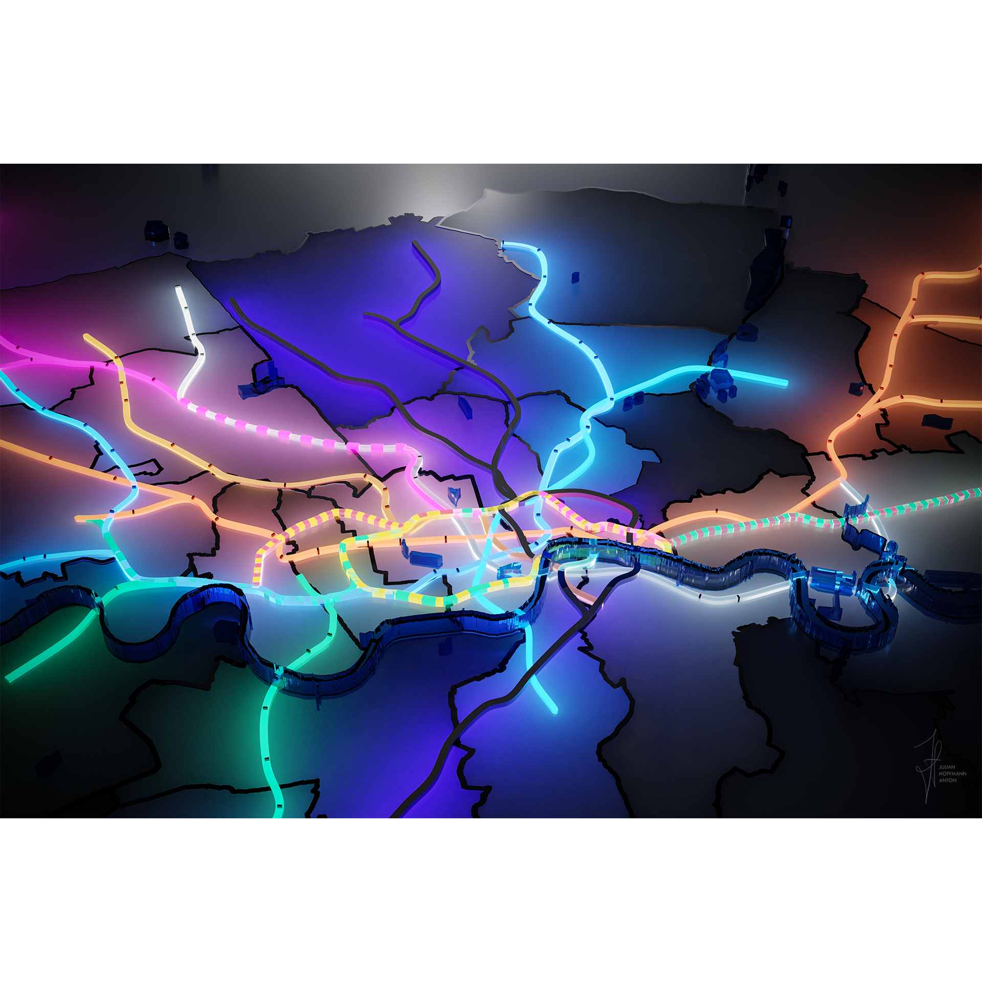
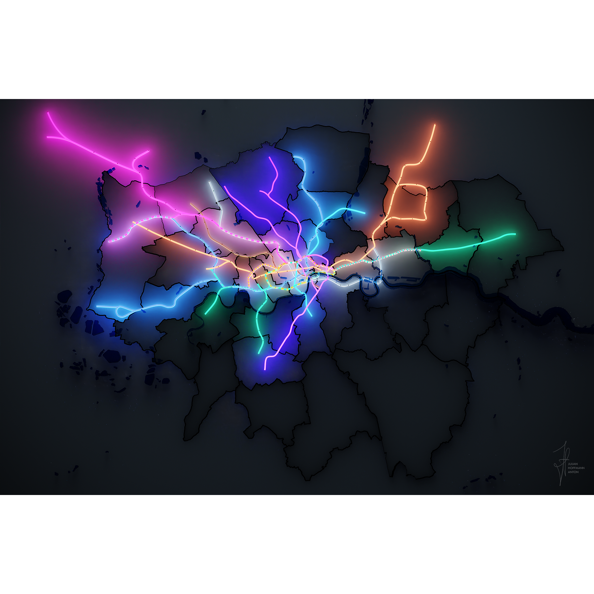
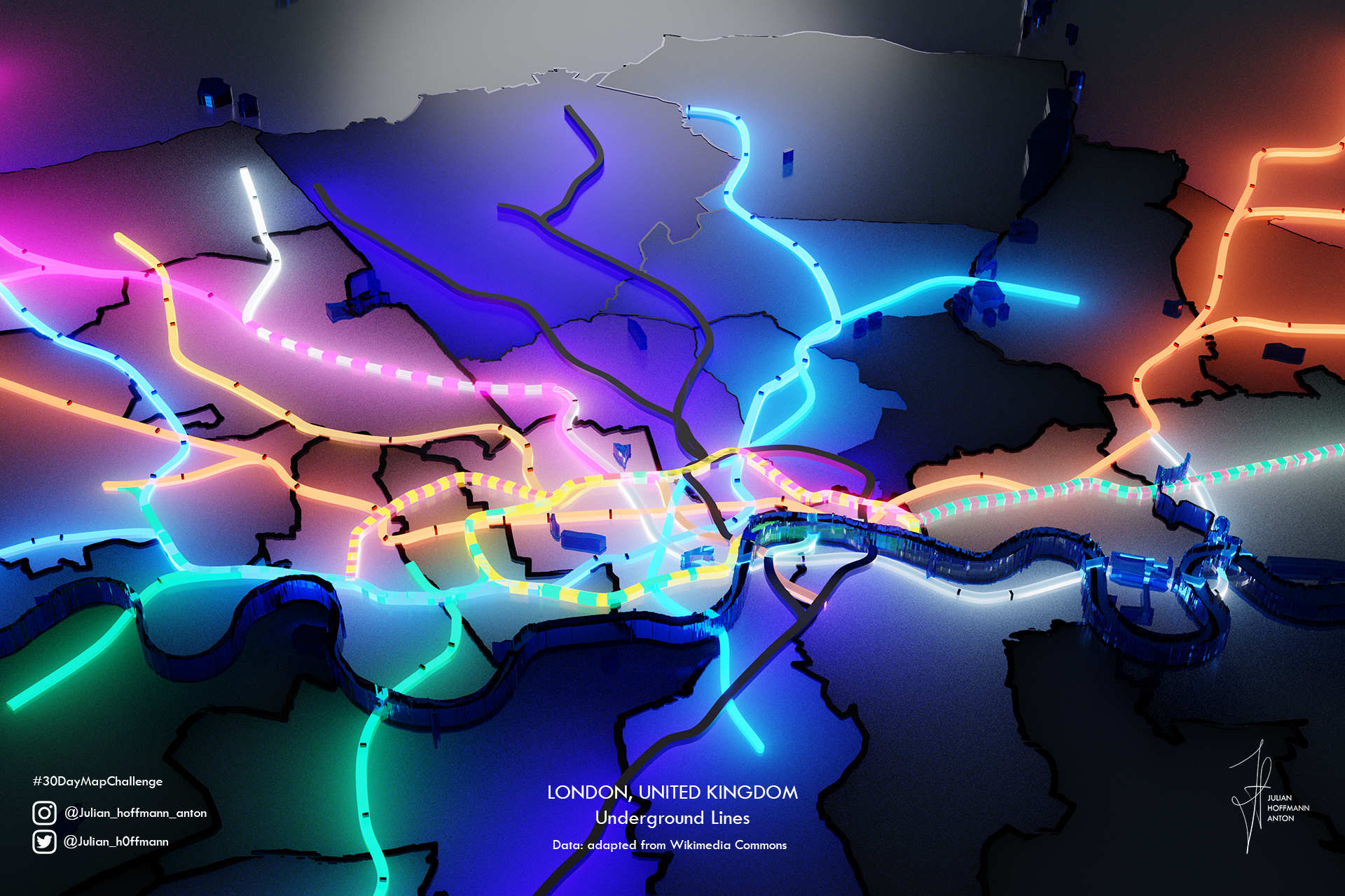
London Undeground


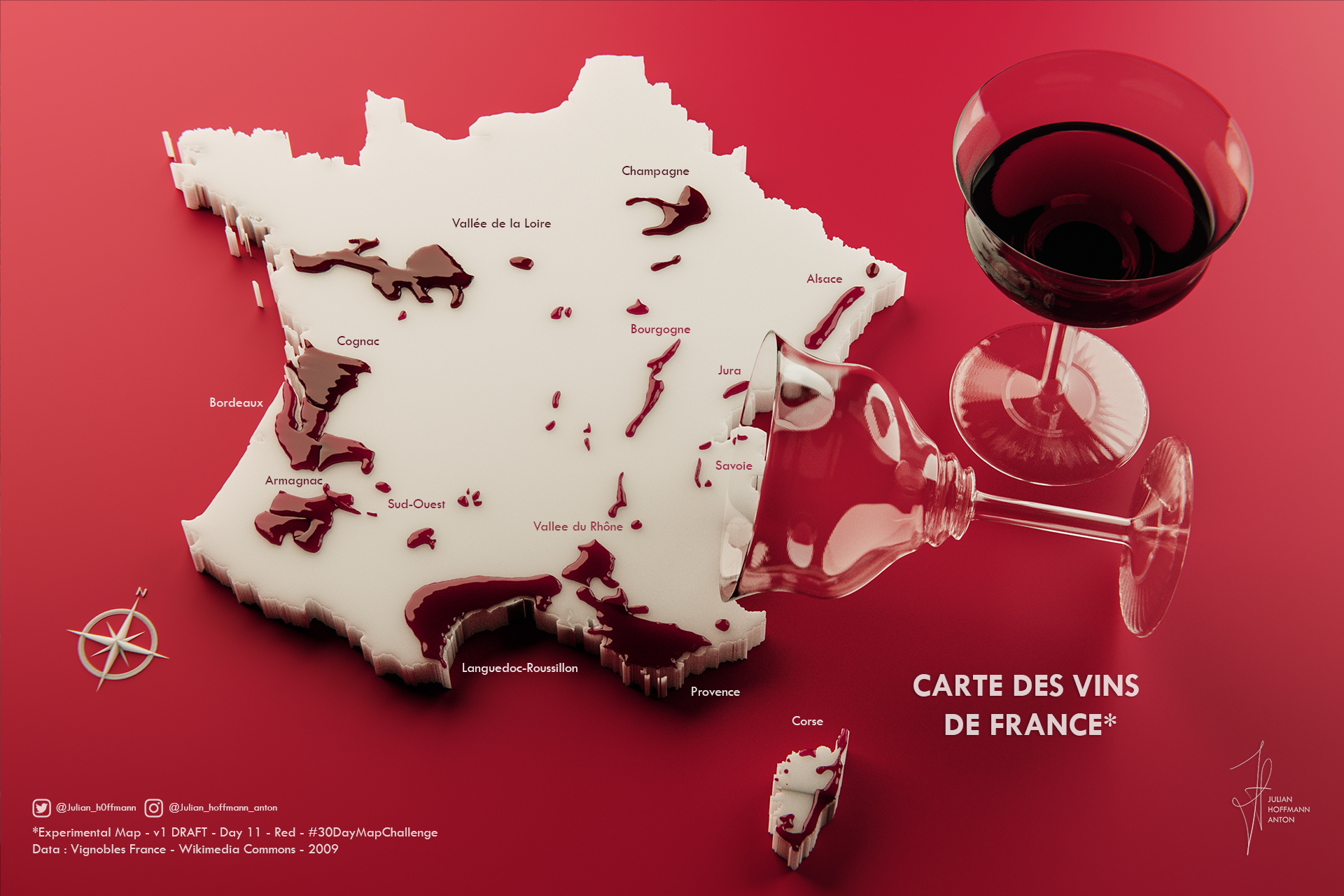
La Carte des Vins de France
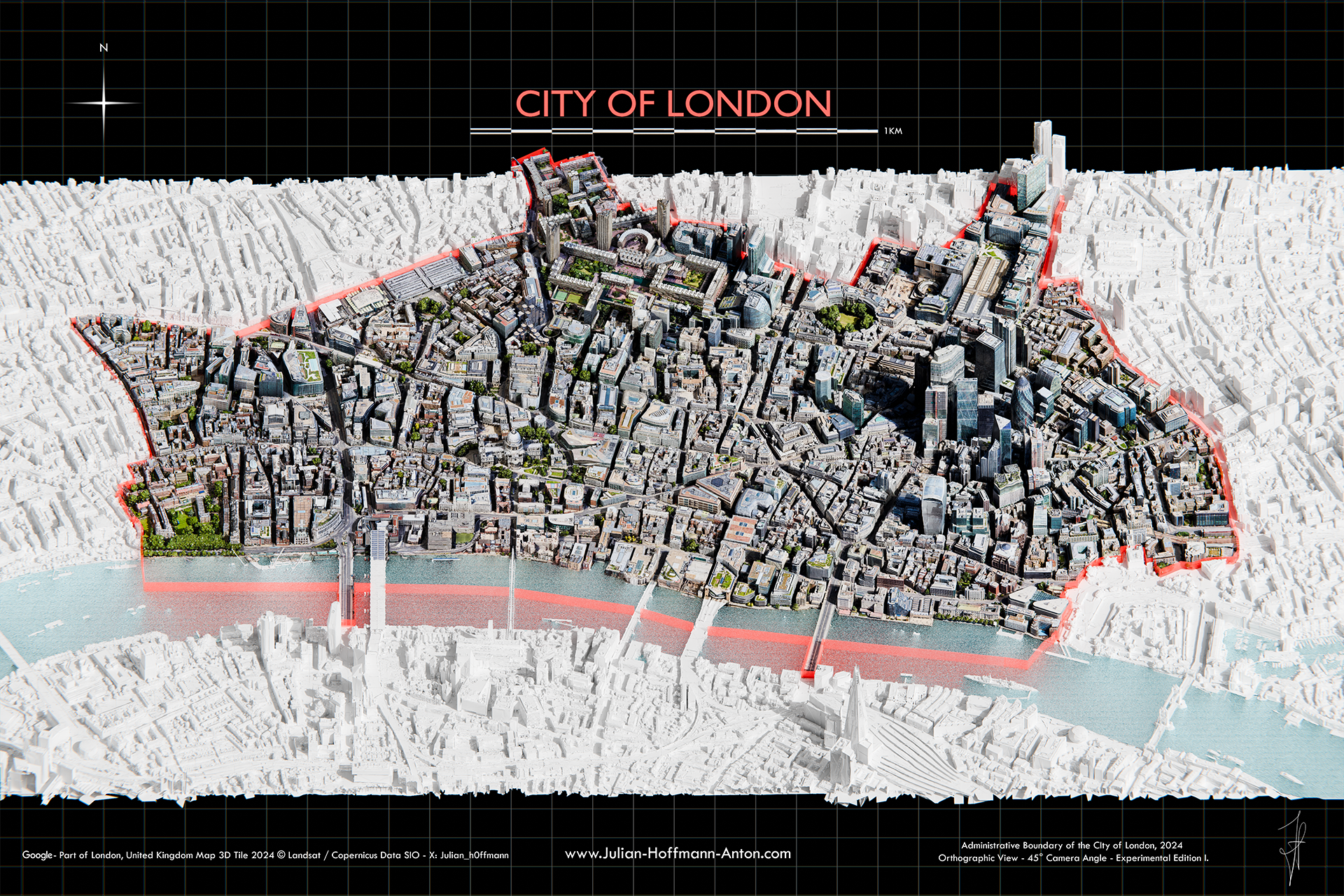
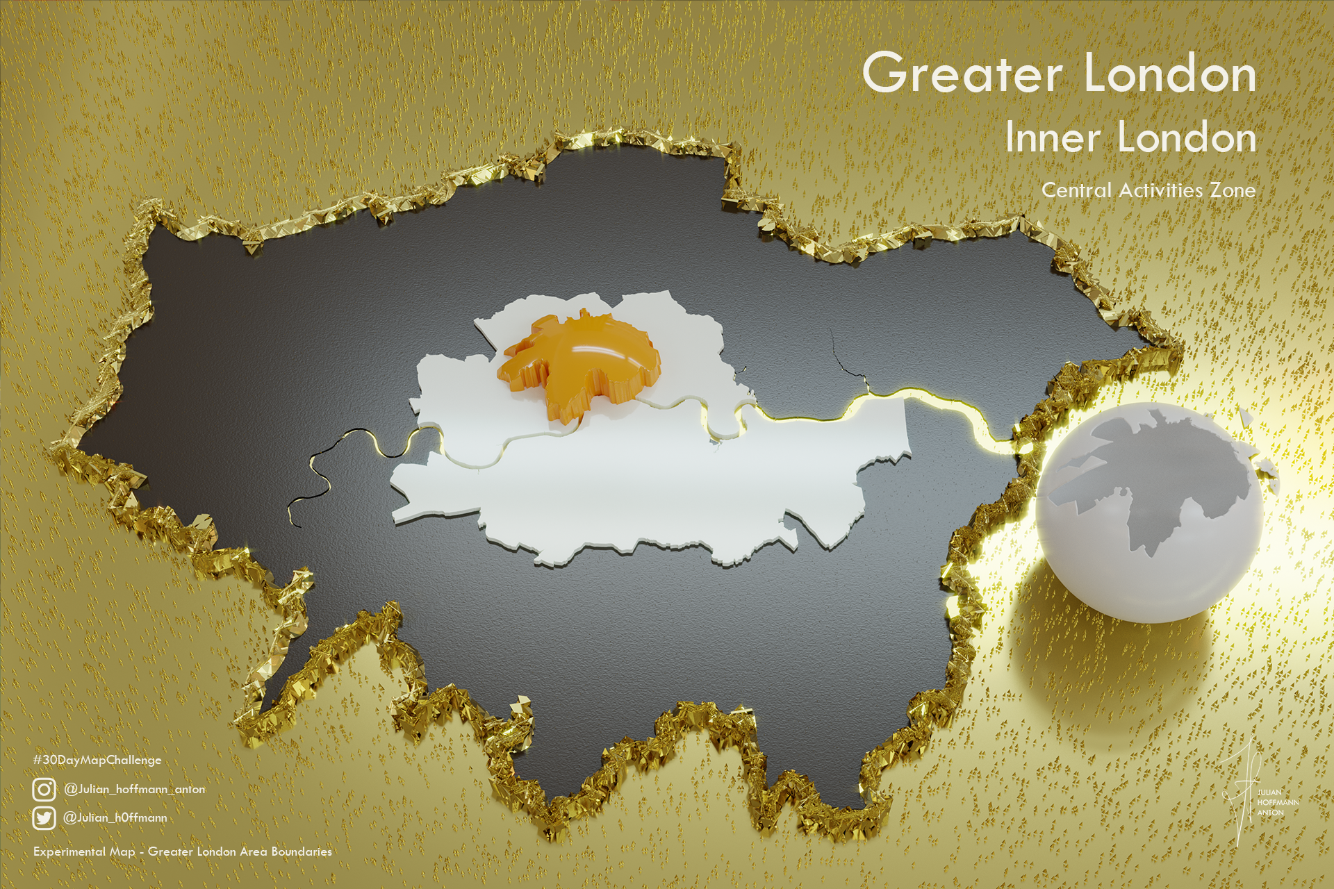
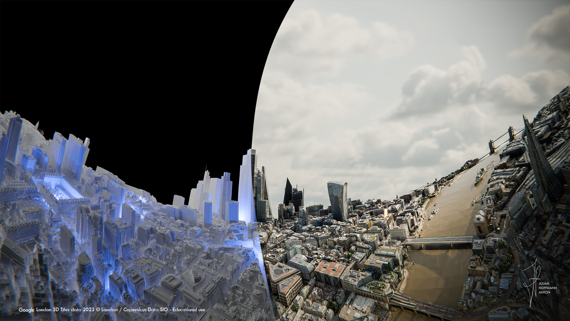
The City of London

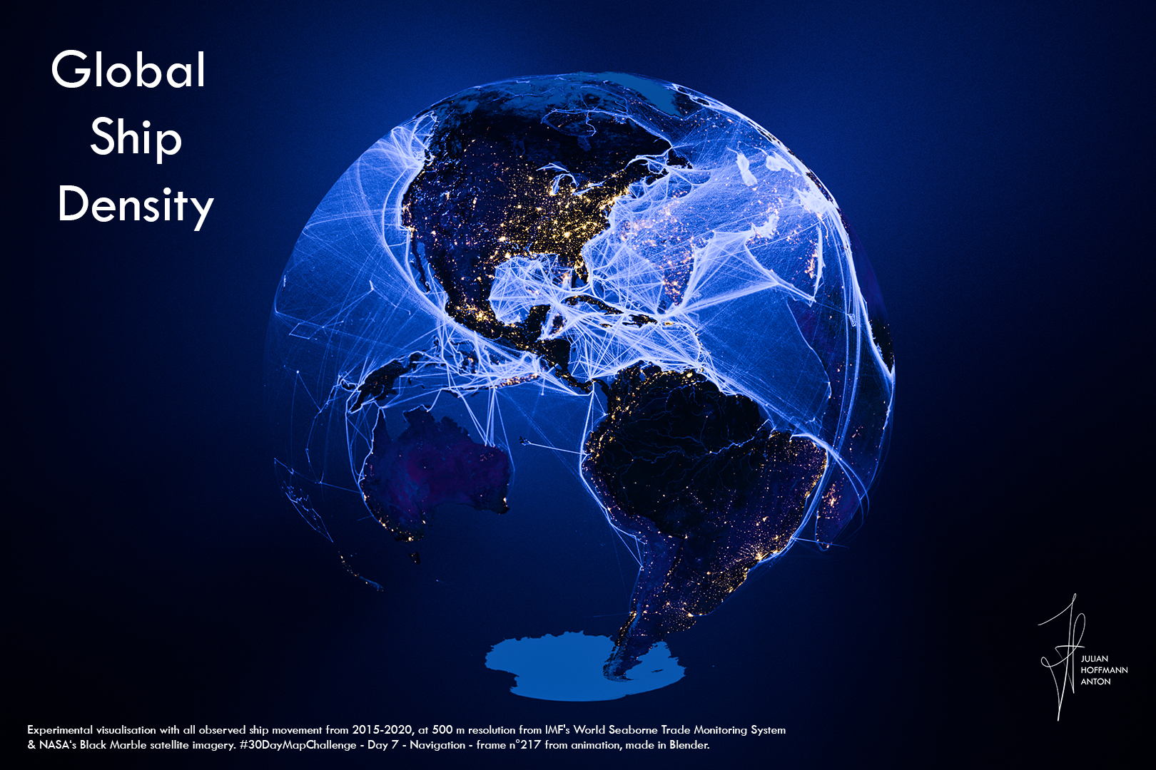
Global Shipping Density Network


The Train Lines of Switzerland



World Population 1950 - 2100
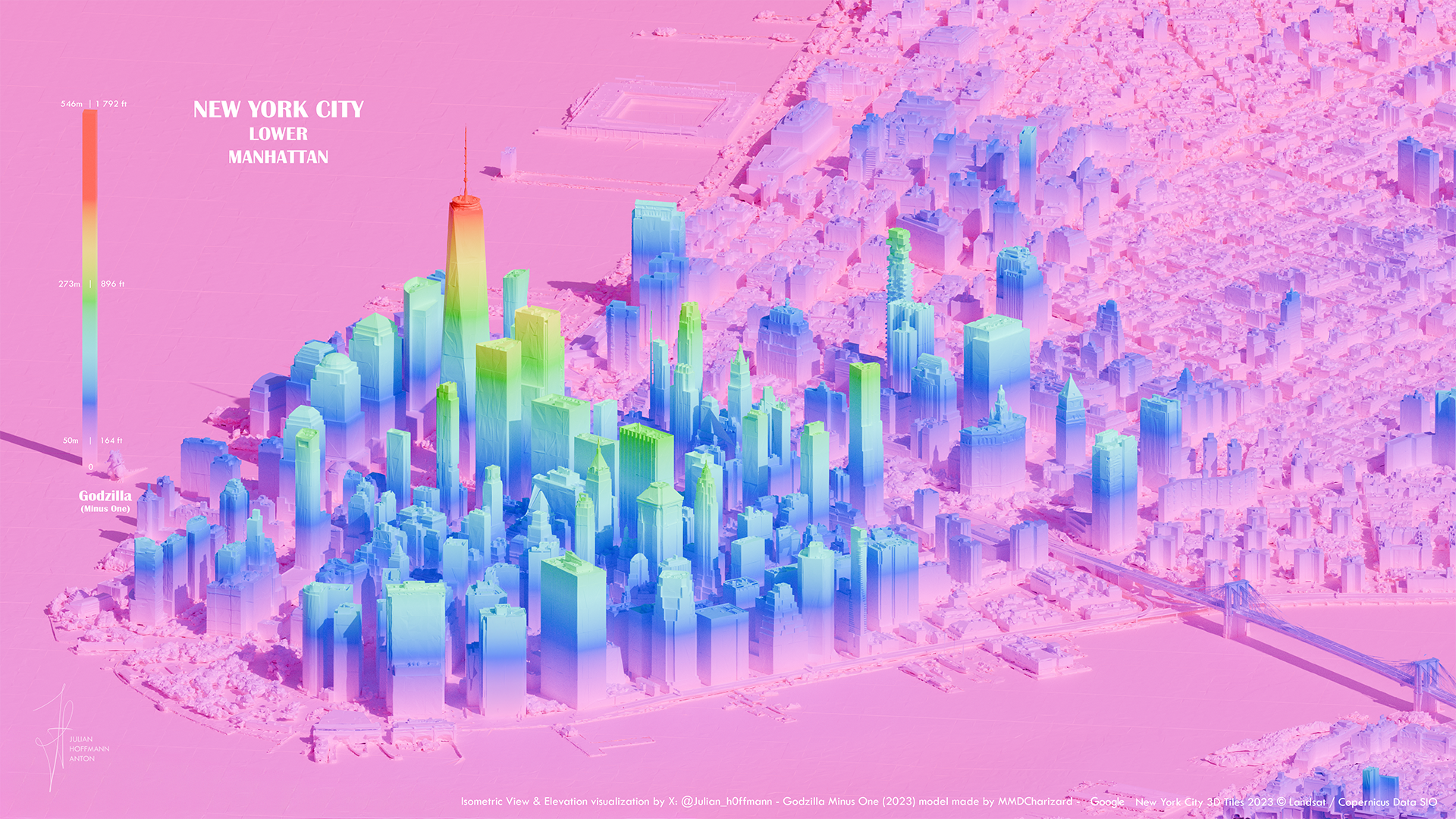

Golden Age of Creativity
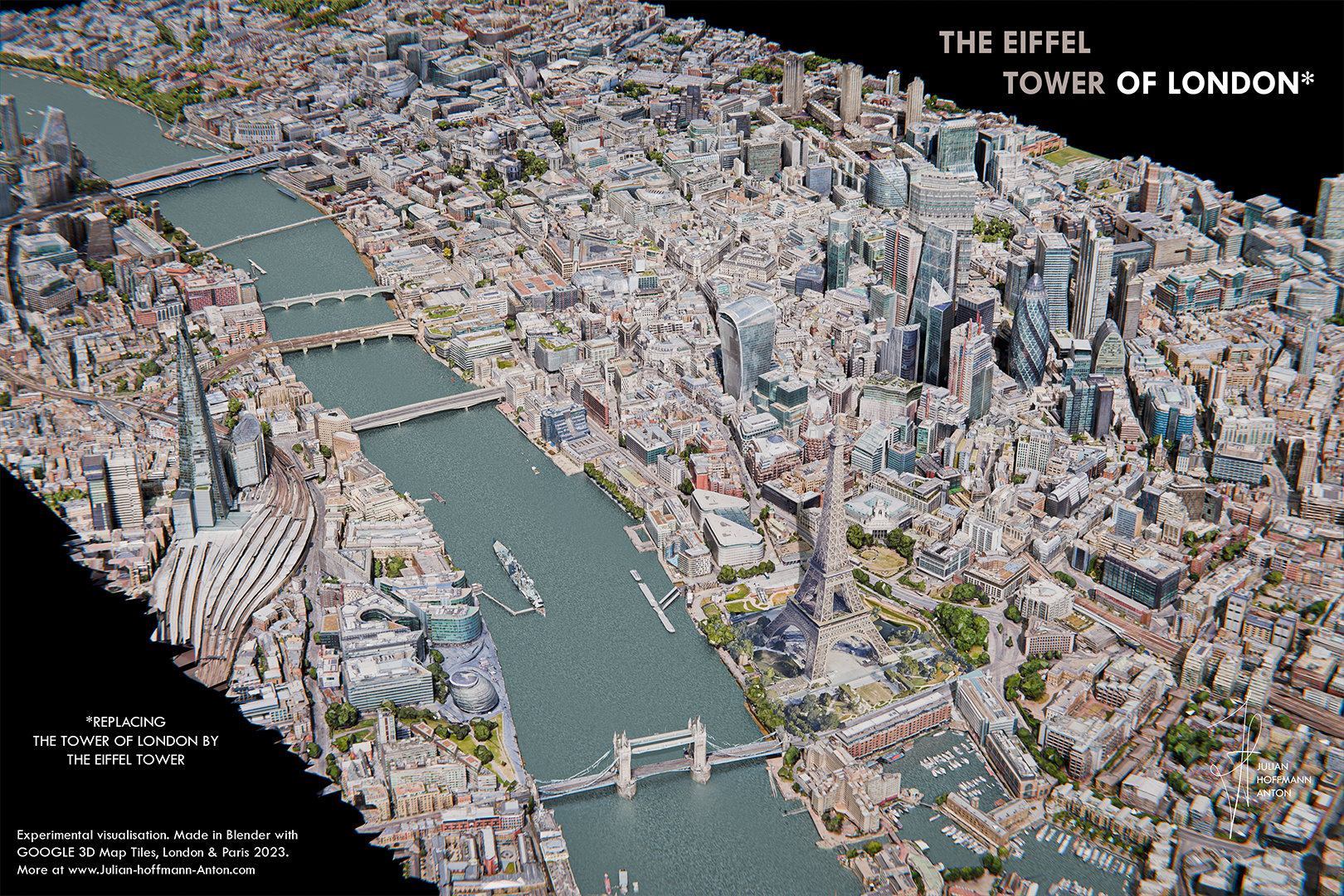
The Eiffel Tower of London


Paris Neon-Expo v1

Pieces of the USA


3D London

Tokyo Lines


Tokyo Eat Map BTS


Polynesian Polygons



Chile Pre Fossilisation

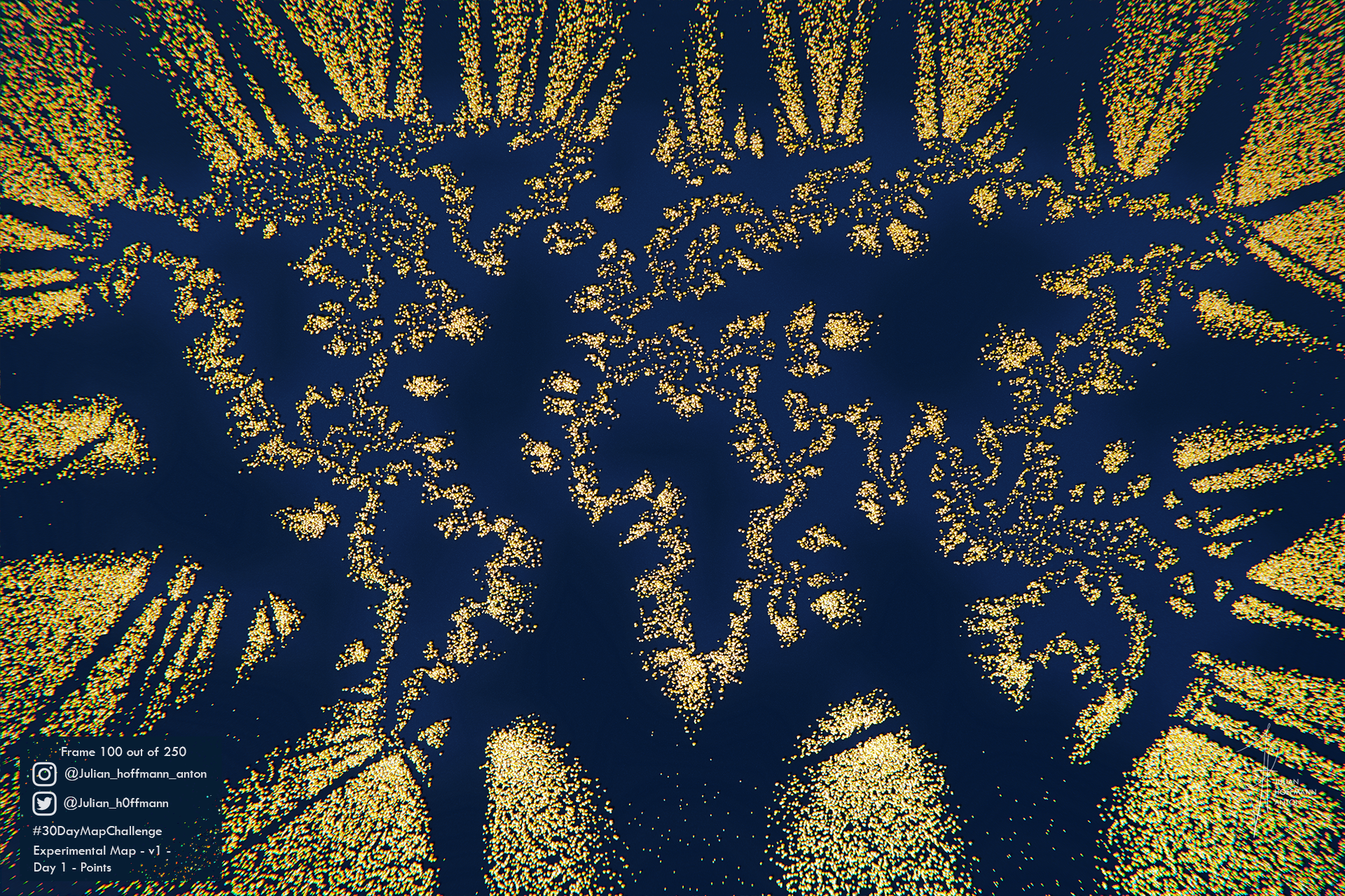
From points to map

Testing Greener Worlds


Tokyo Lines (BTS)

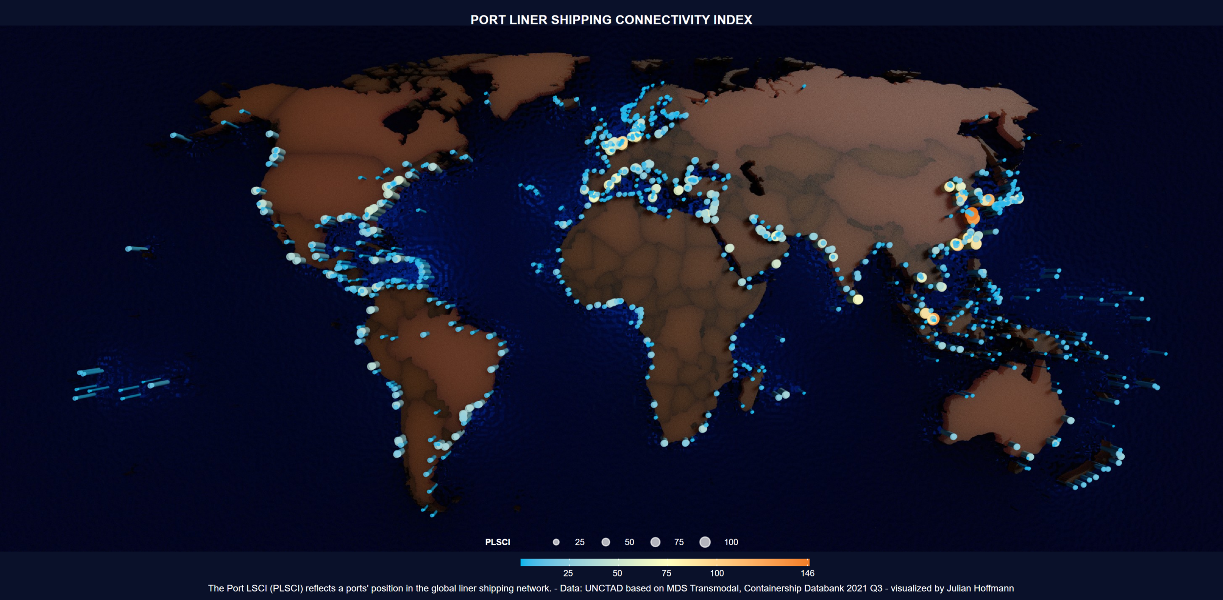
Ports in the global liner shipping network

Café à Paris
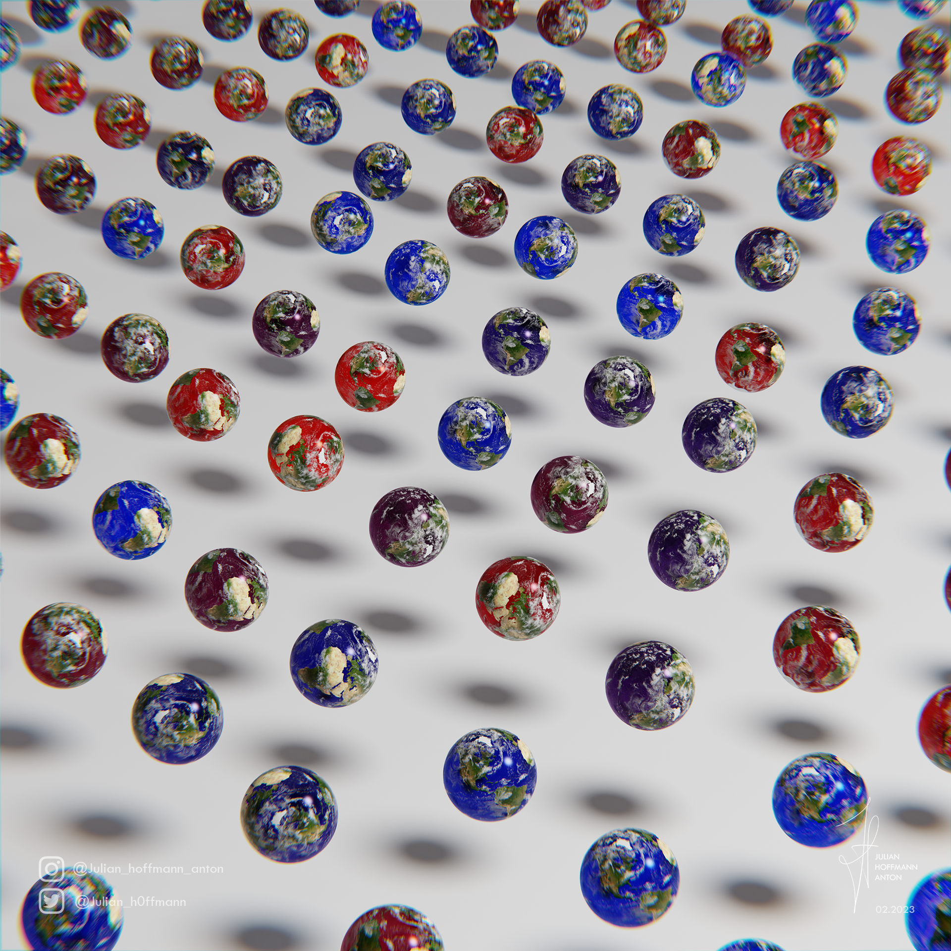
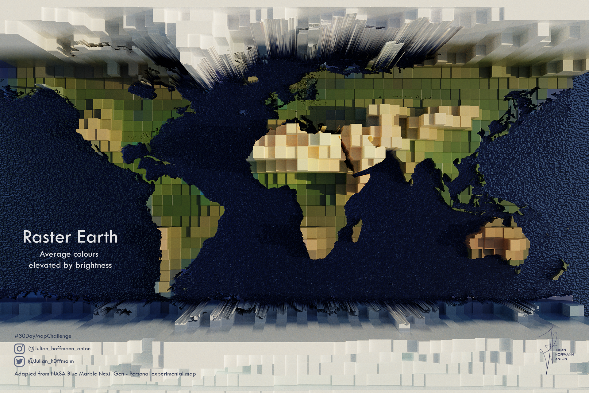
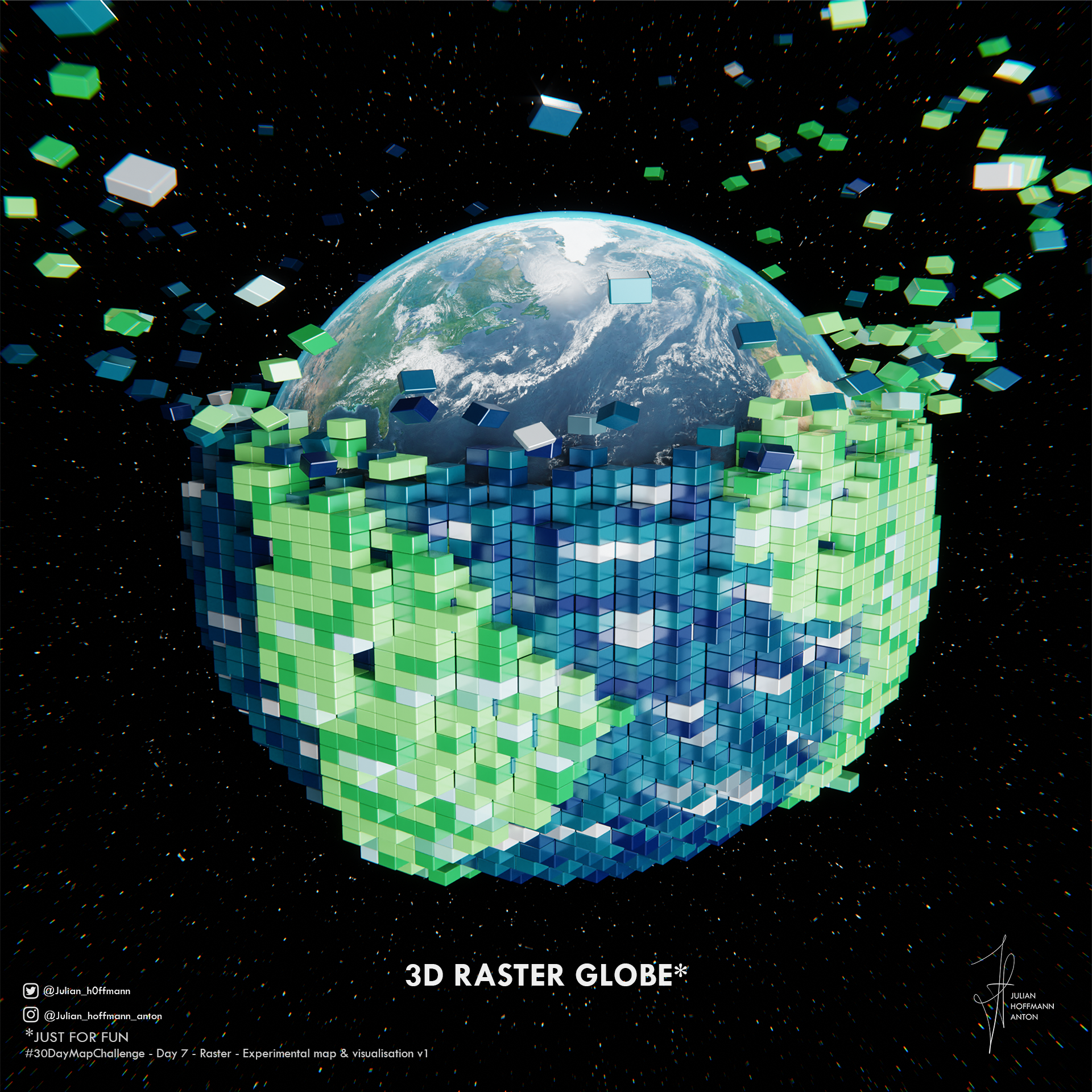
Raster Earth

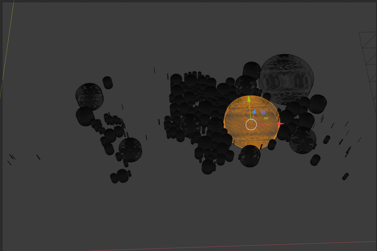
Behind the Scenes

Containership port calls during the first 31 weeks of 2020 compared to the same period in 2019
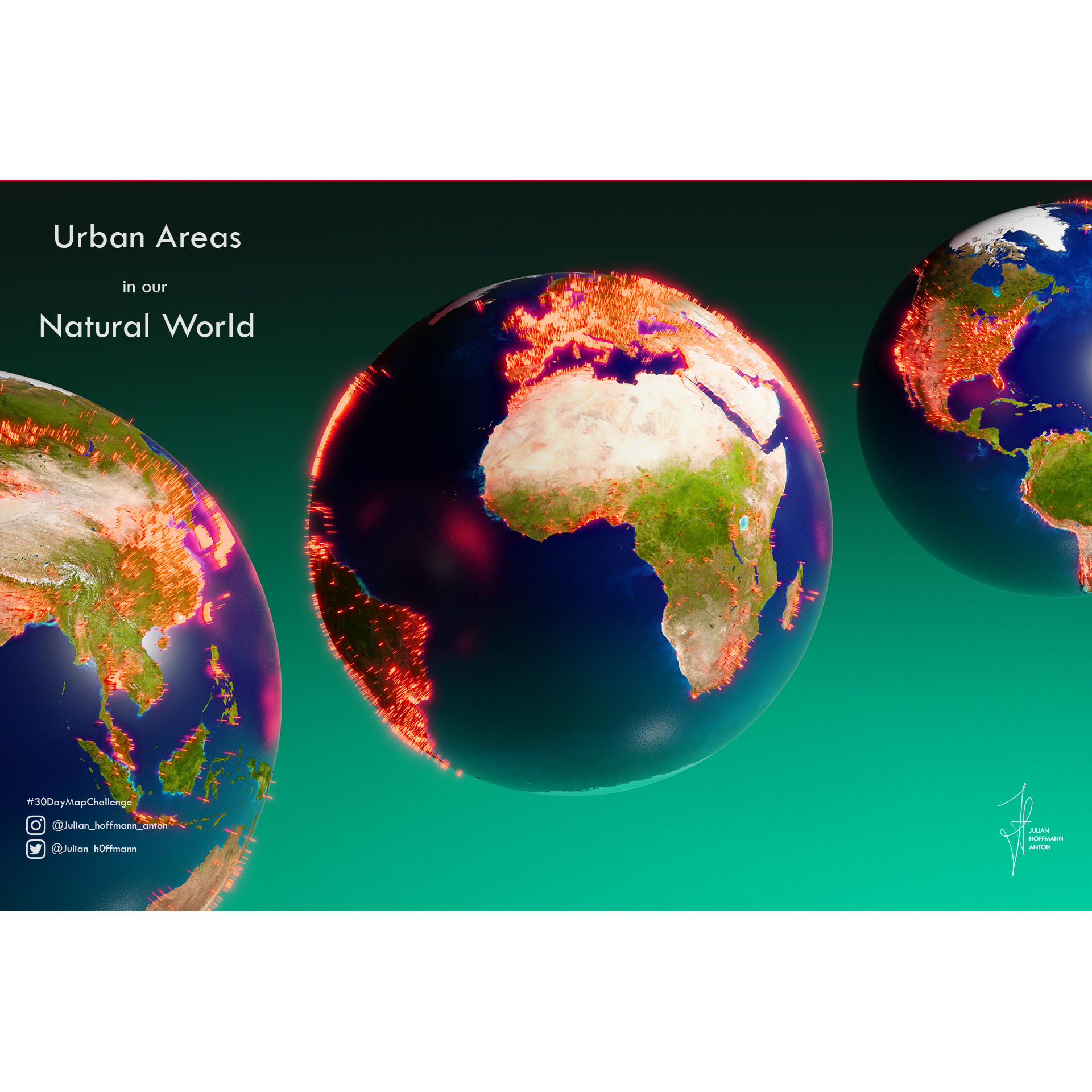
Urban World

Spatial Dish I.


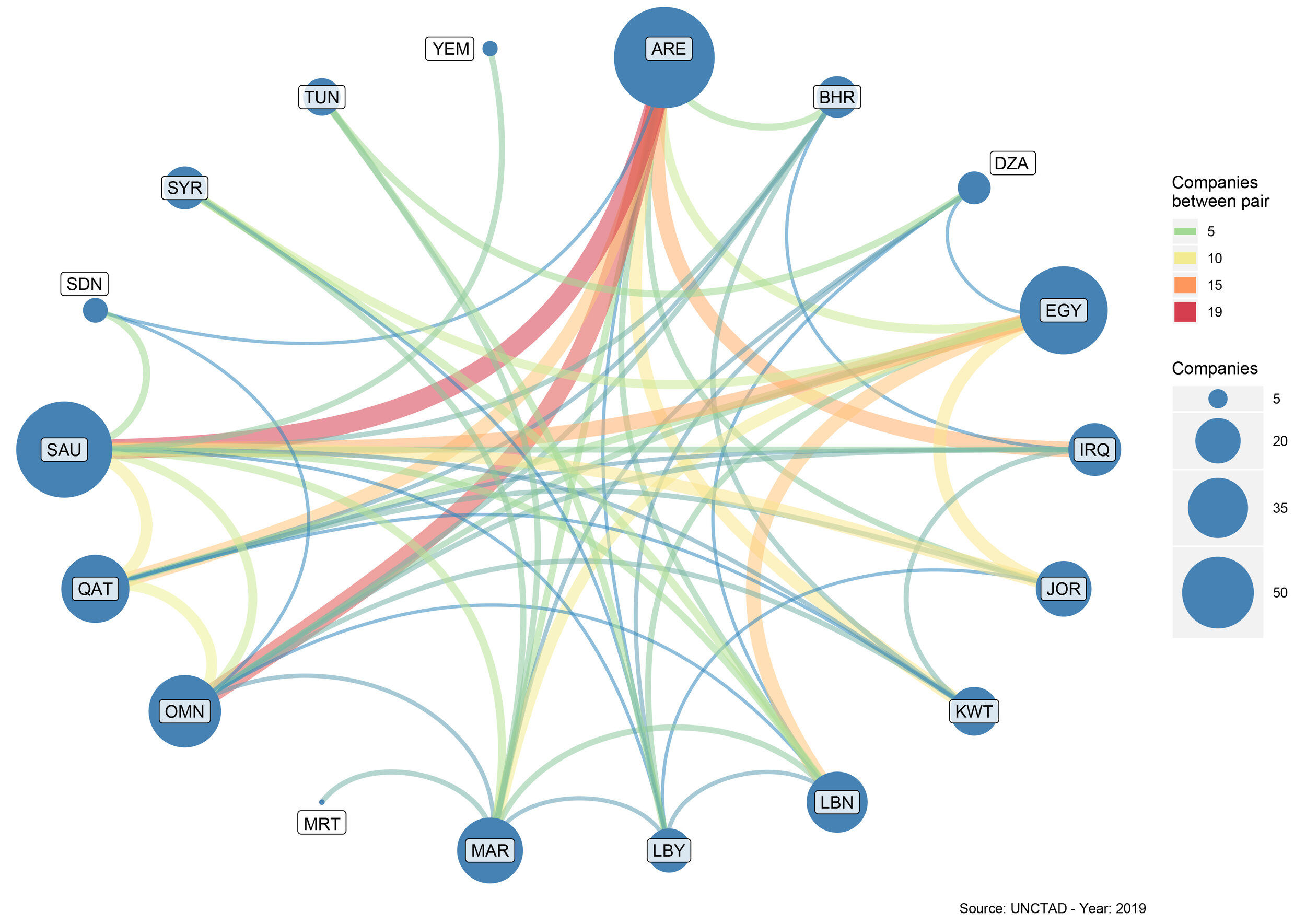
Connected Countries in MENA

London: Spinning my Labytinth I.
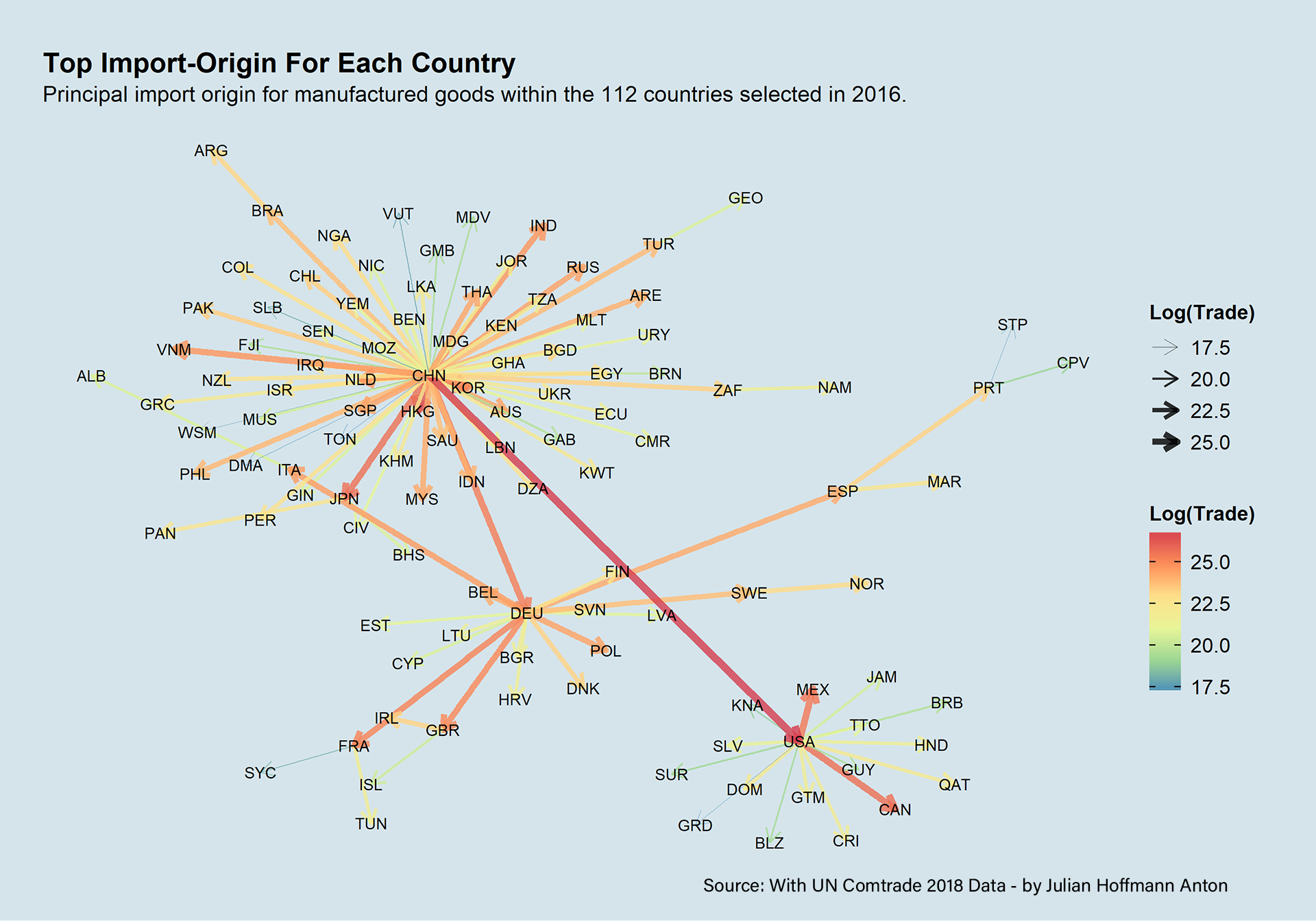
Top Import-Origin

Connected Ports & Oceans

Mont Blanc
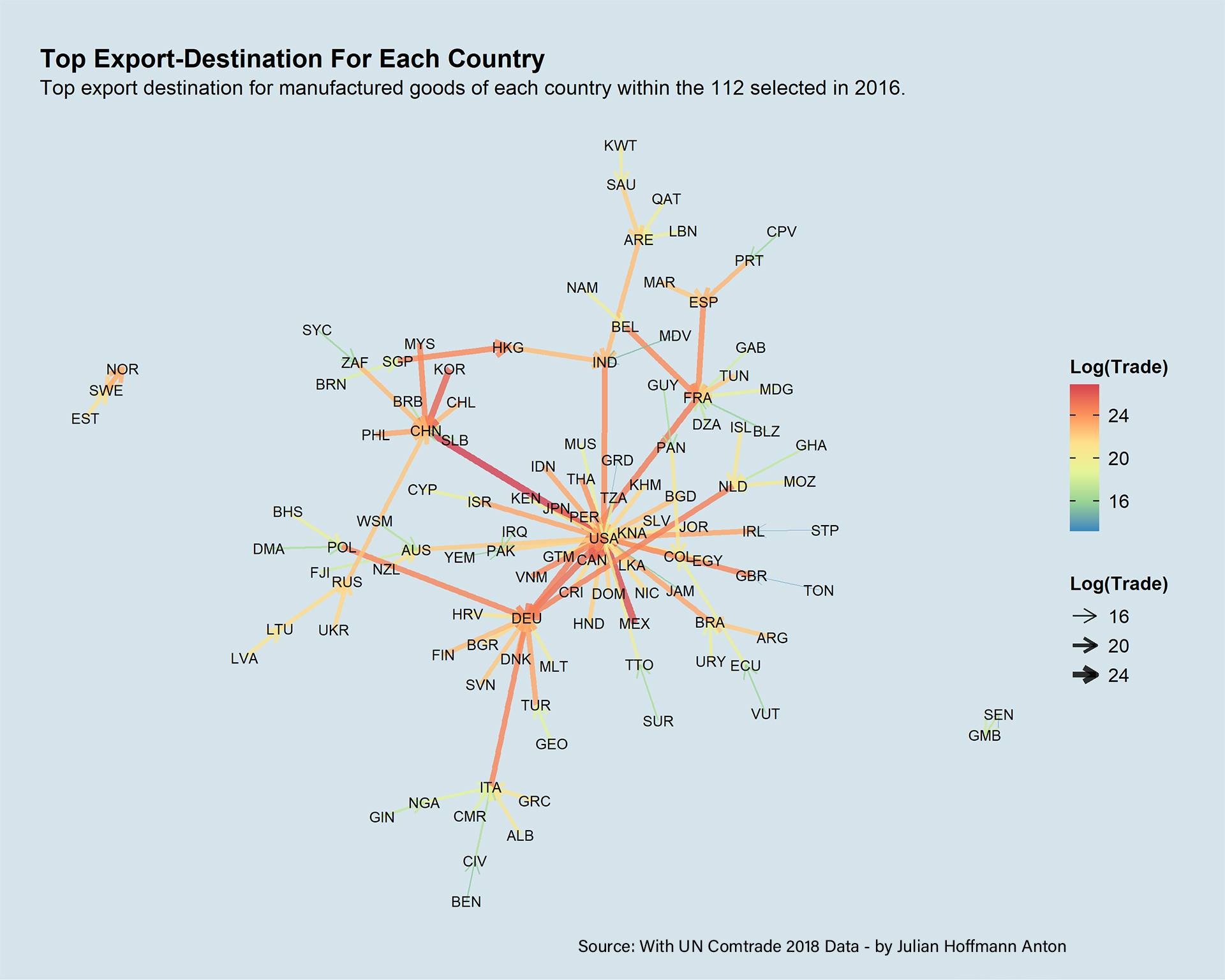
Top Export-Destinations

Map: Size (TEU) of the largest container ship deployed

Spatial Memories I.
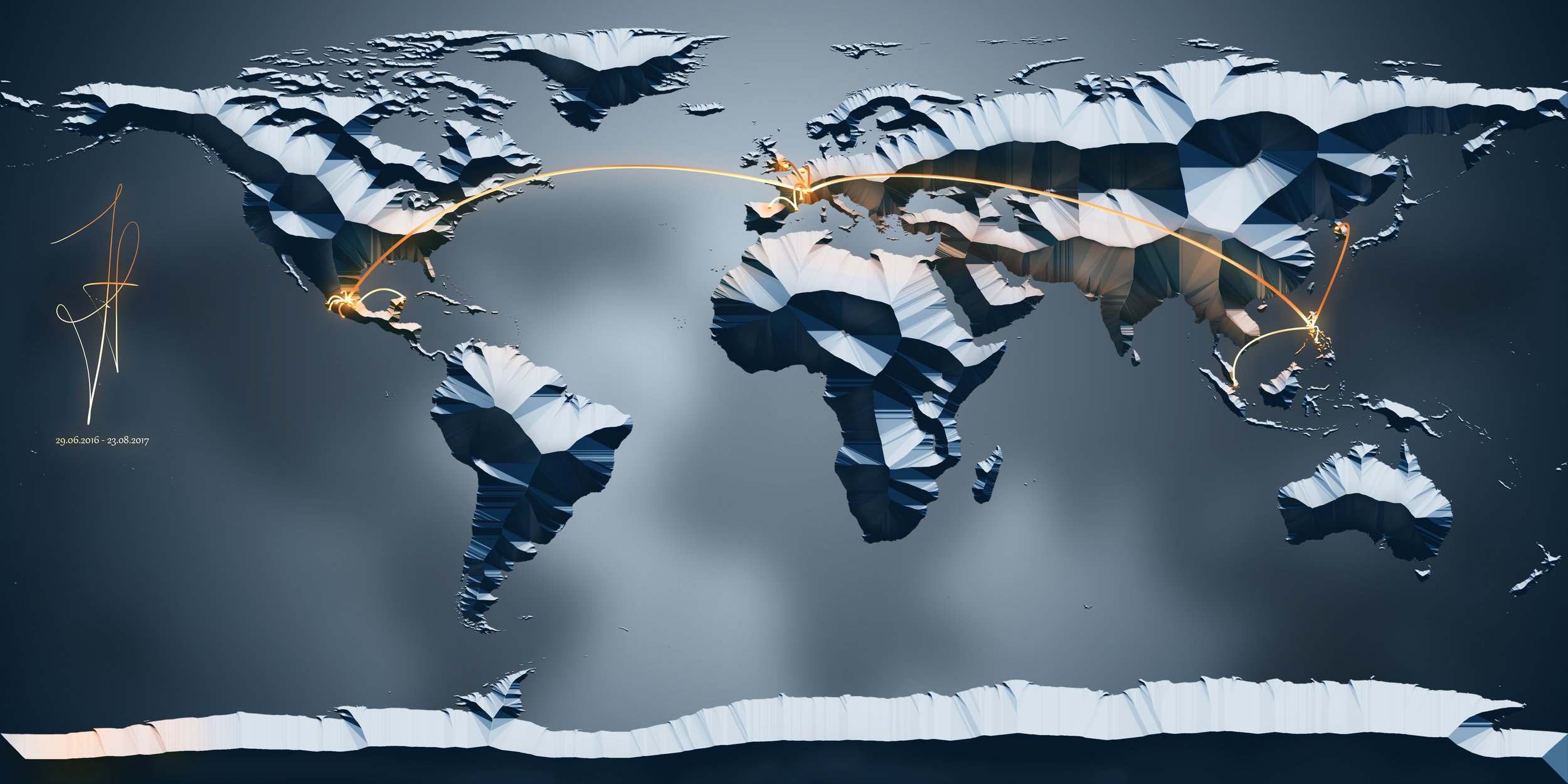
One Year Journey
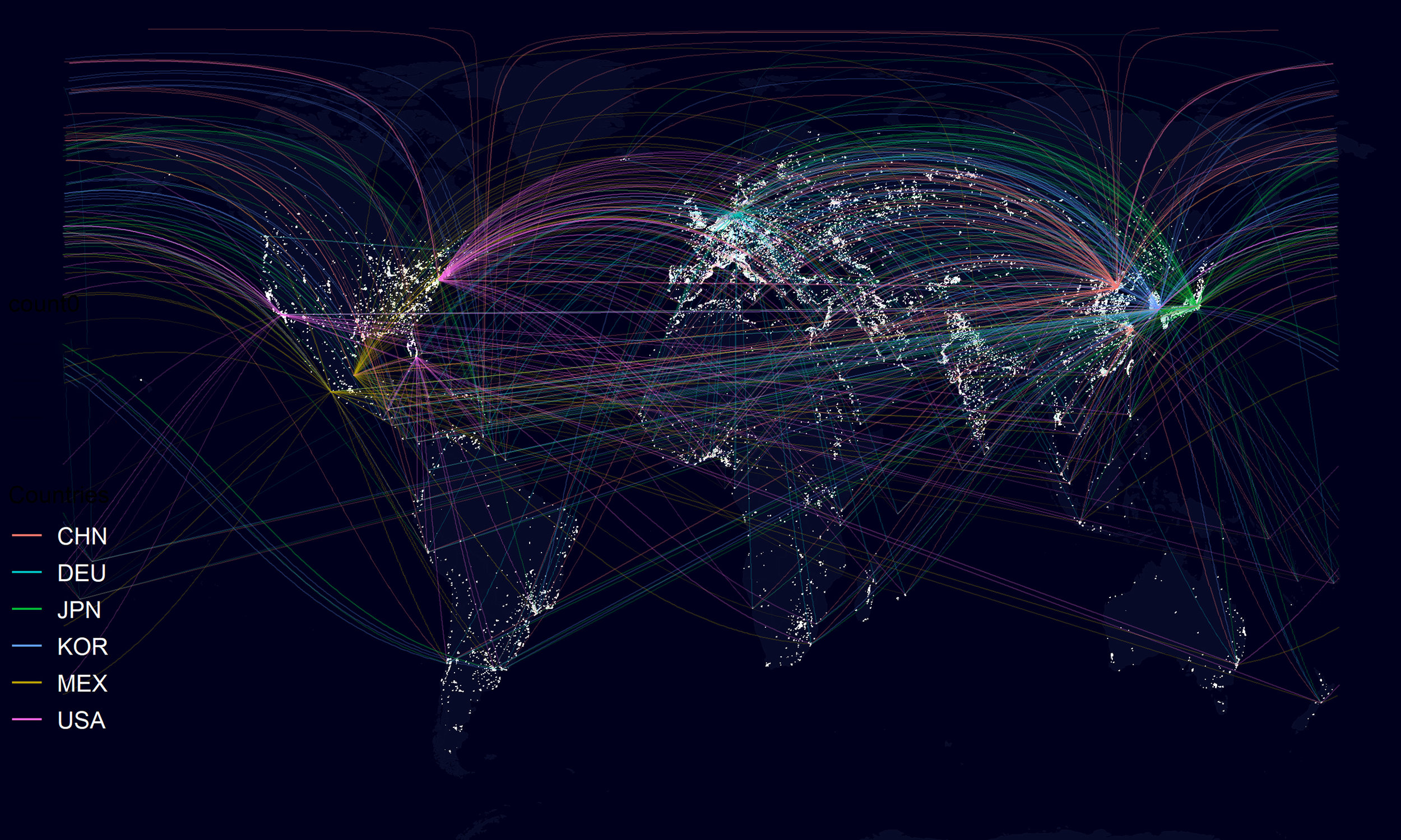
Manufactured Goods II
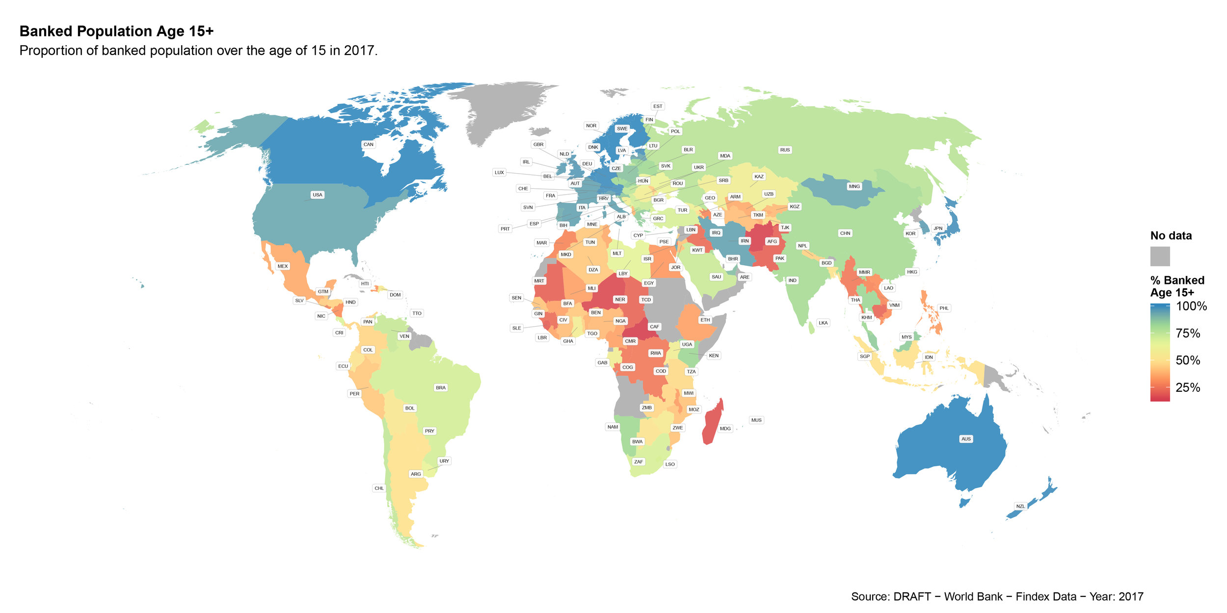
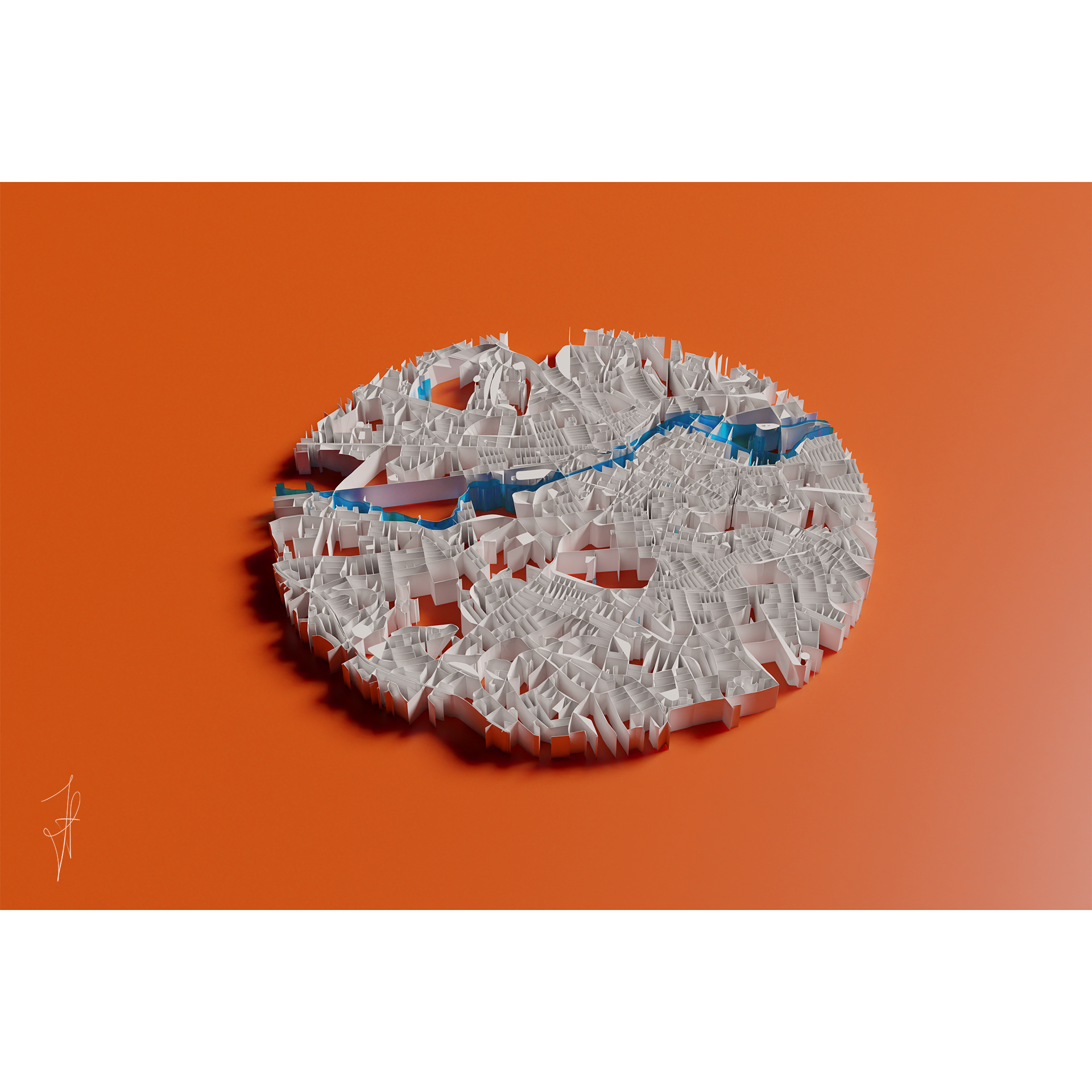
Life is a maze

Africa Dimensions
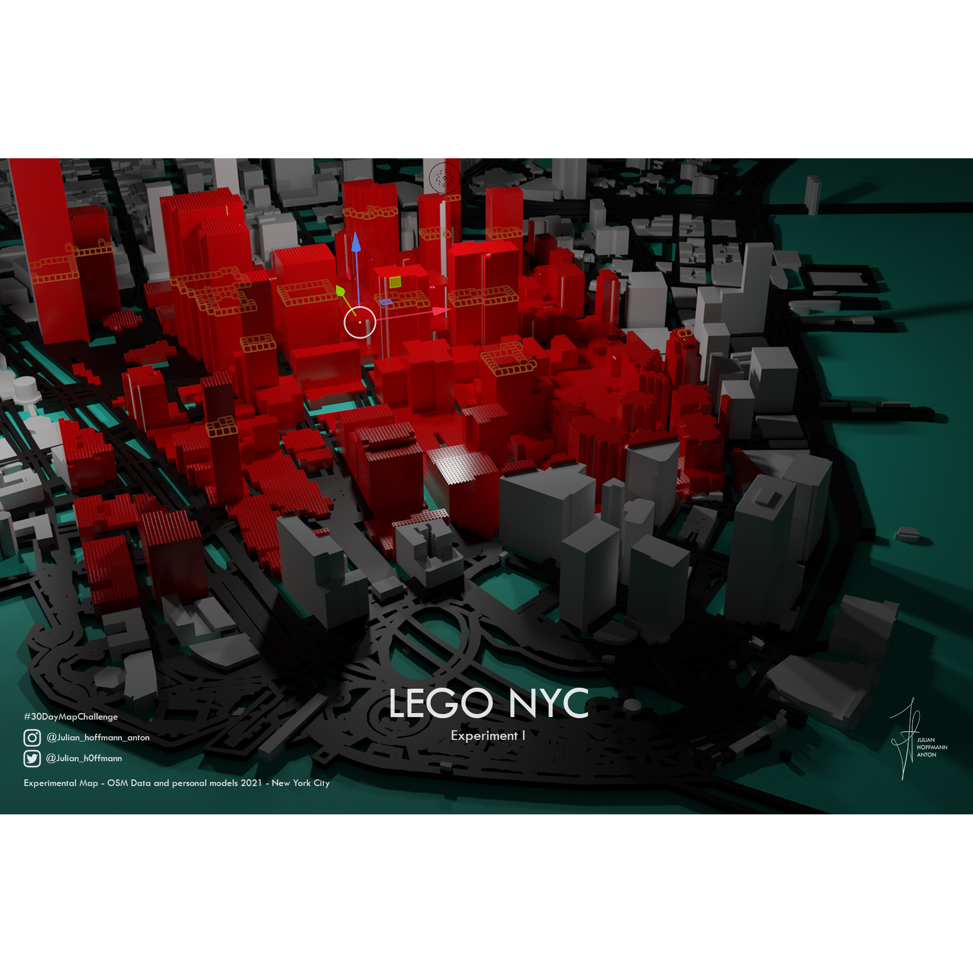

Cartogram Ship Arrivals and Days

Bivariate Maps
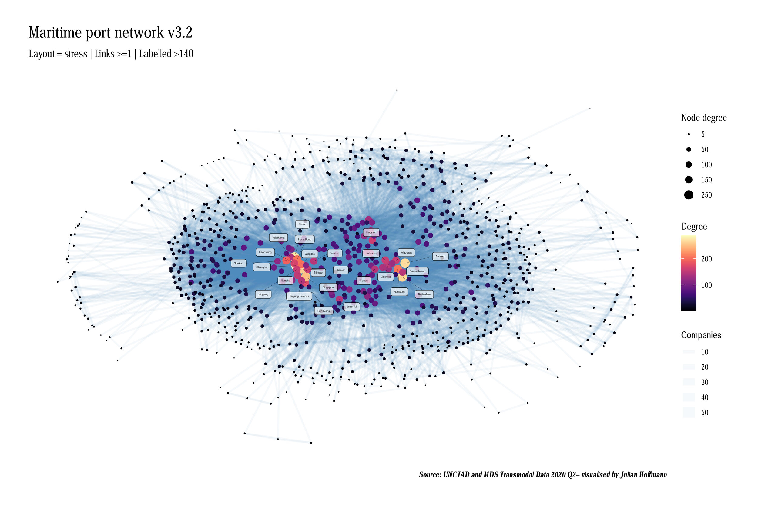
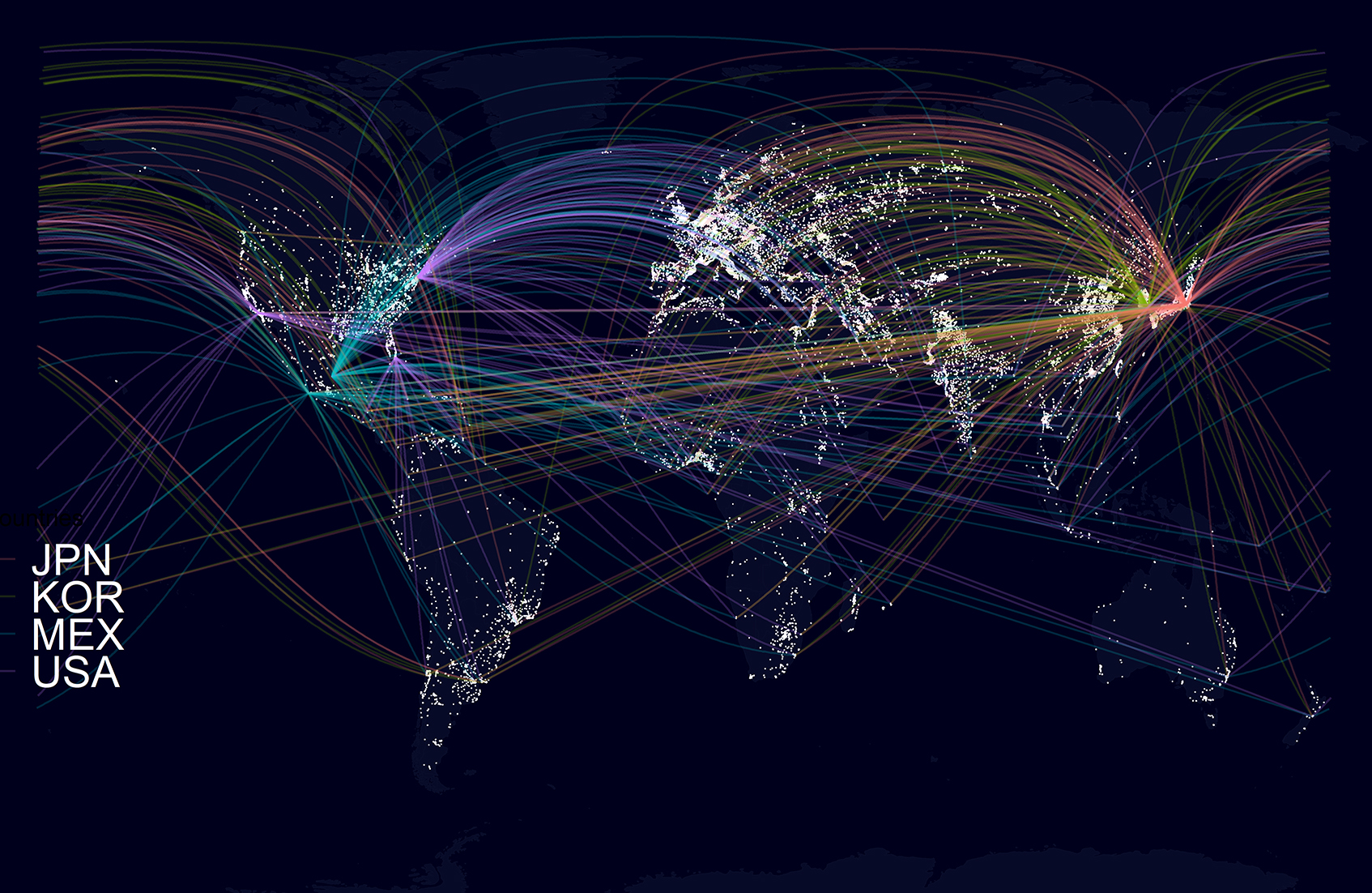
Manufactured Goods I
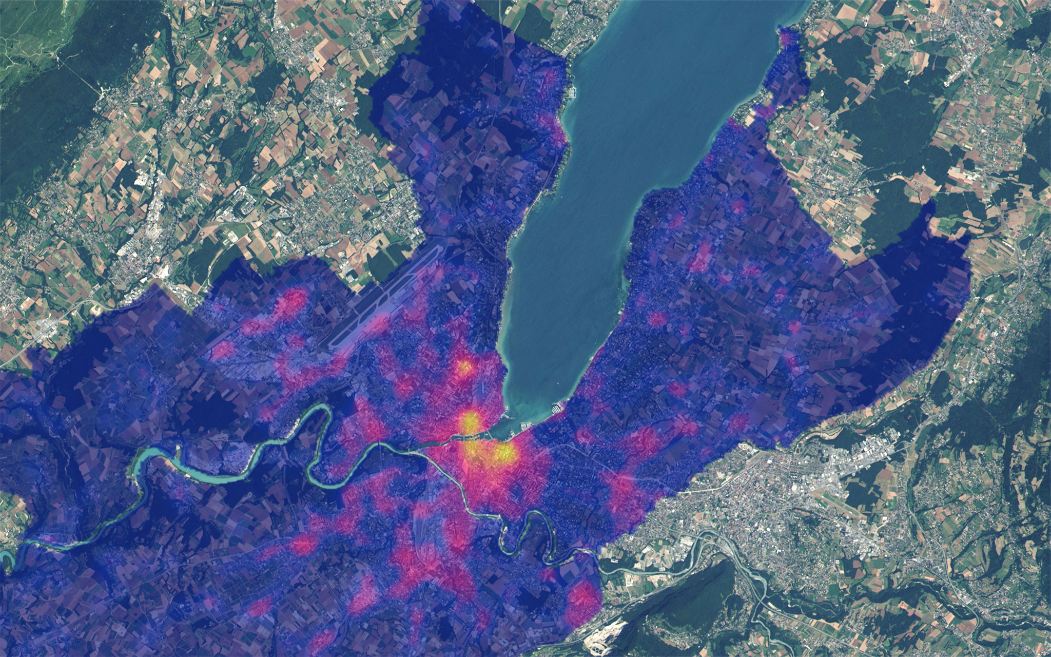
Public Transport Stop Density
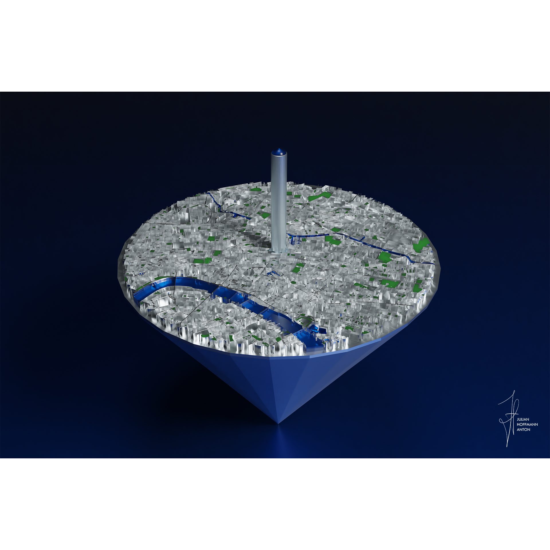

Mont Blanc - Top View

World map features A and B
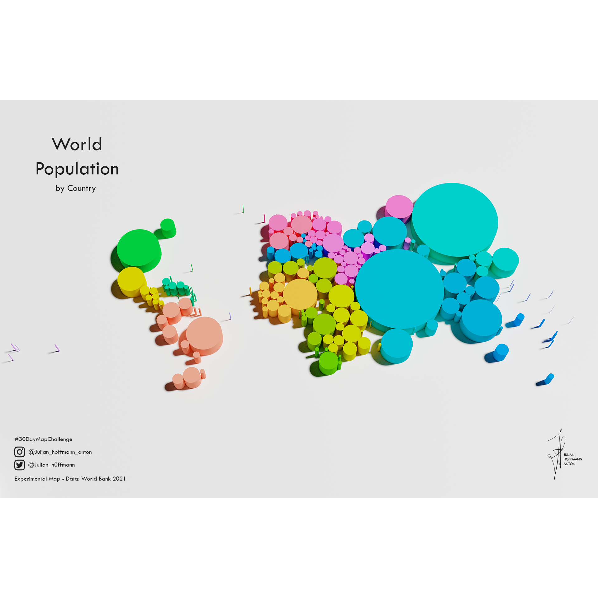
World Population
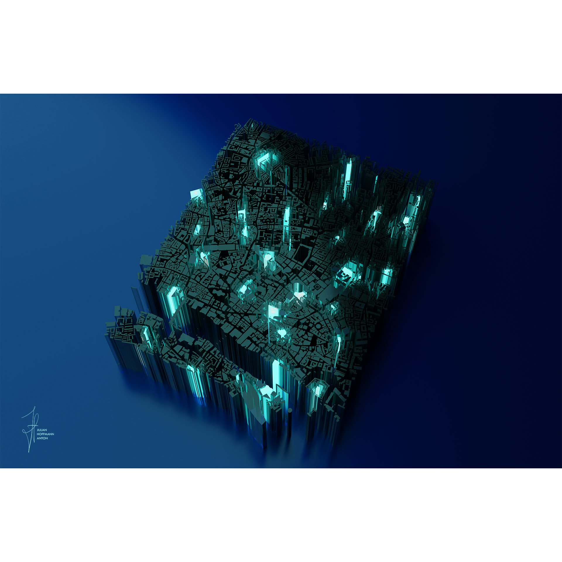
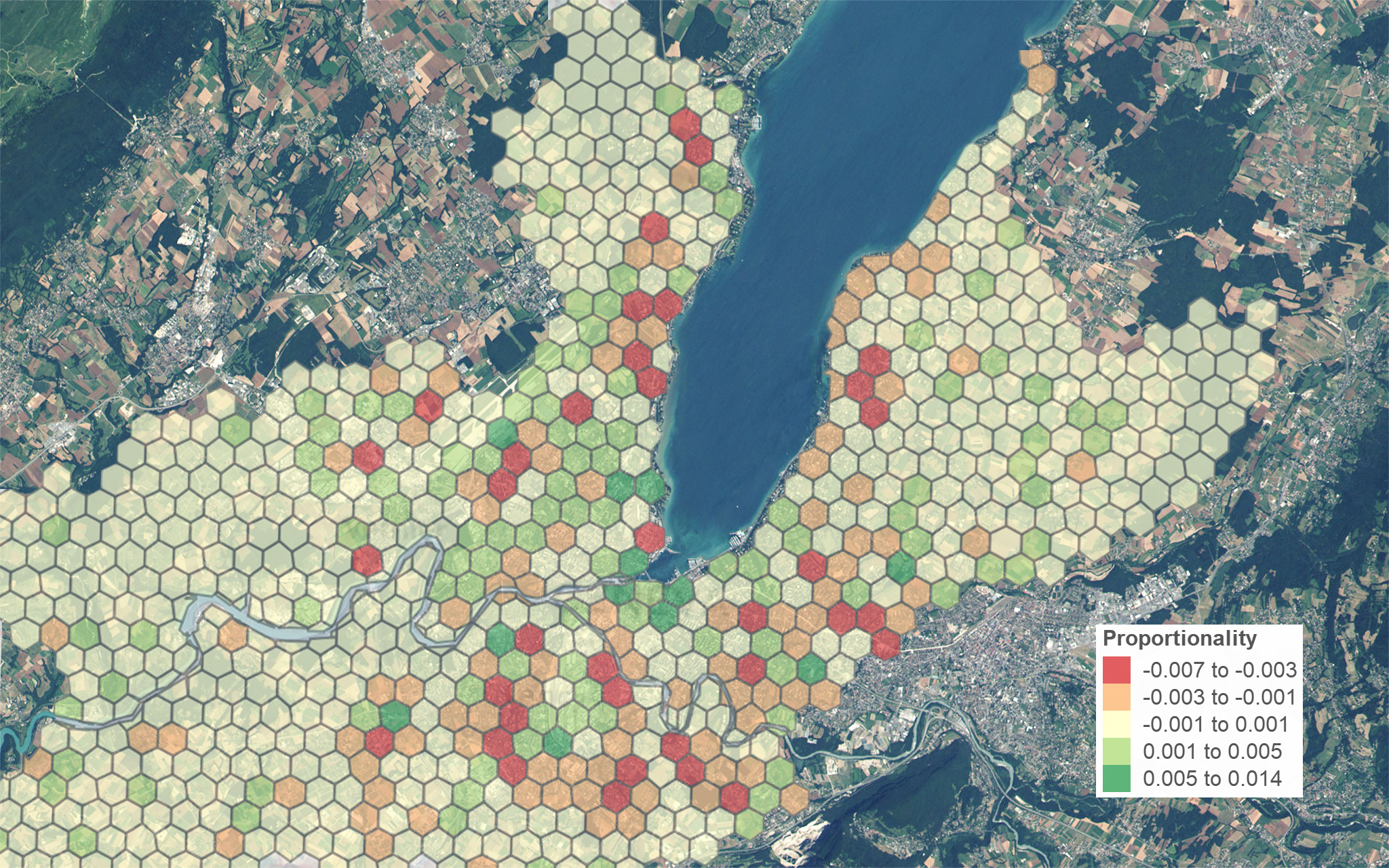
Transport Weak Spot Estimator


info
/
1
2
3
4
5
6
7
8
9
10
11
12
13
14
15
16
17
18
19
20
21
22
23
24
25
26
27
28
29
30
31
32
33
34
35
36
37
38
39
40
41
42
43
44
45
46
47
48
49
50
51
52
53
54
55
56
57
58
59
60
61
62
63
64
65
66
67
68
69
70
71
72
73
74
75
76
77
78
79
80
81
82
83
84
85
86
87
88
89
90
91
92
93
94
95
96
97
98
99
100
101
102
103
104
105
106
·
·
·
·
·
·
·
·
·
·
·
·
·
·
·
·
·
·
·
·
·
·
·
·
·
·
·
·
·
·
·
·
·
·
·
·
·
·
·
·
·
·
·
·
·
·
·
·
·
·
·
·
·
·
·
·
·
·
·
·
·
·
·
·
·
·
·
·
·
·
·
·
·
·
·
·
·
·
·
·
·
·
·
·
·
·
·
·
·
·
·
·
·
·
·
·
·
·
·
·
·
·
·
·
·
·