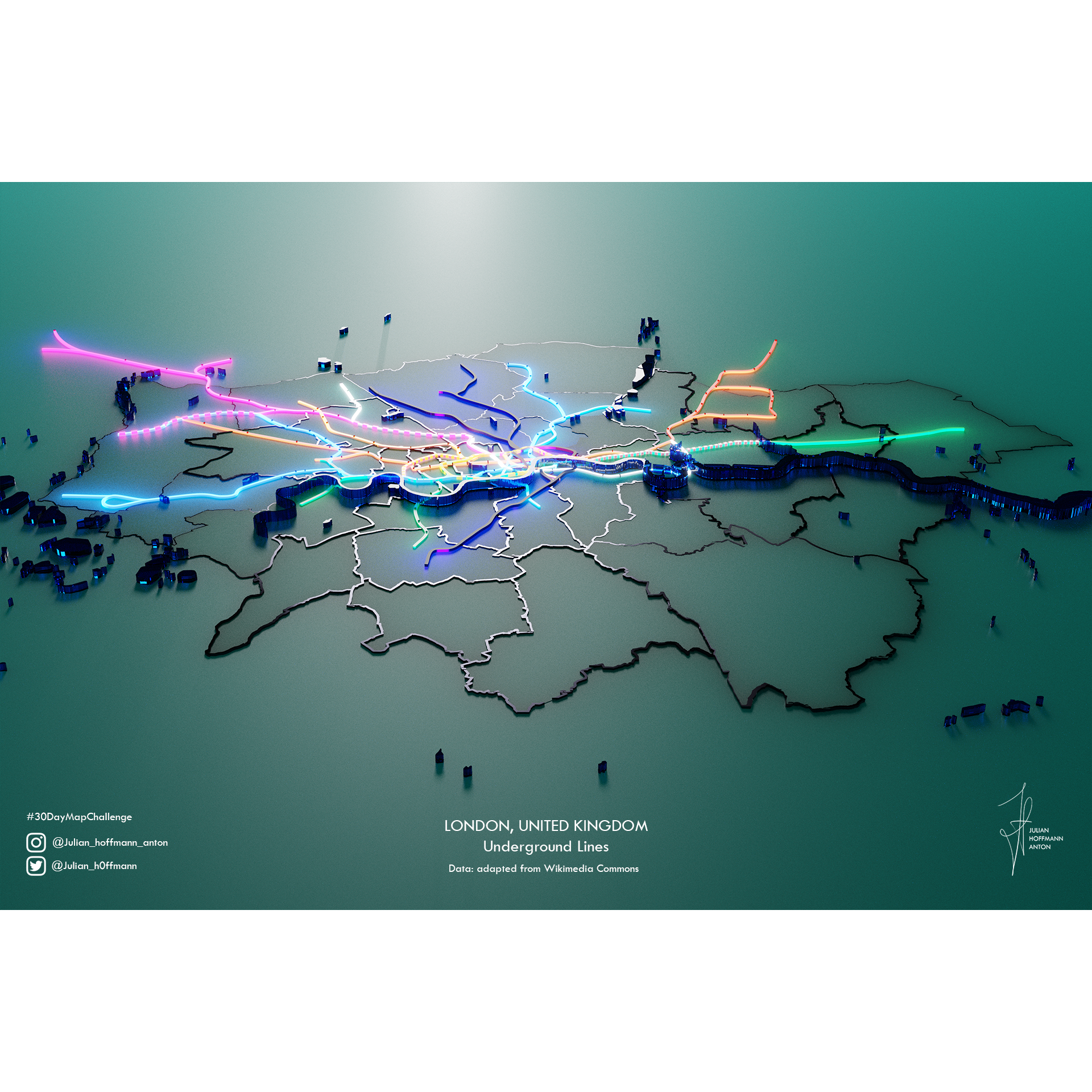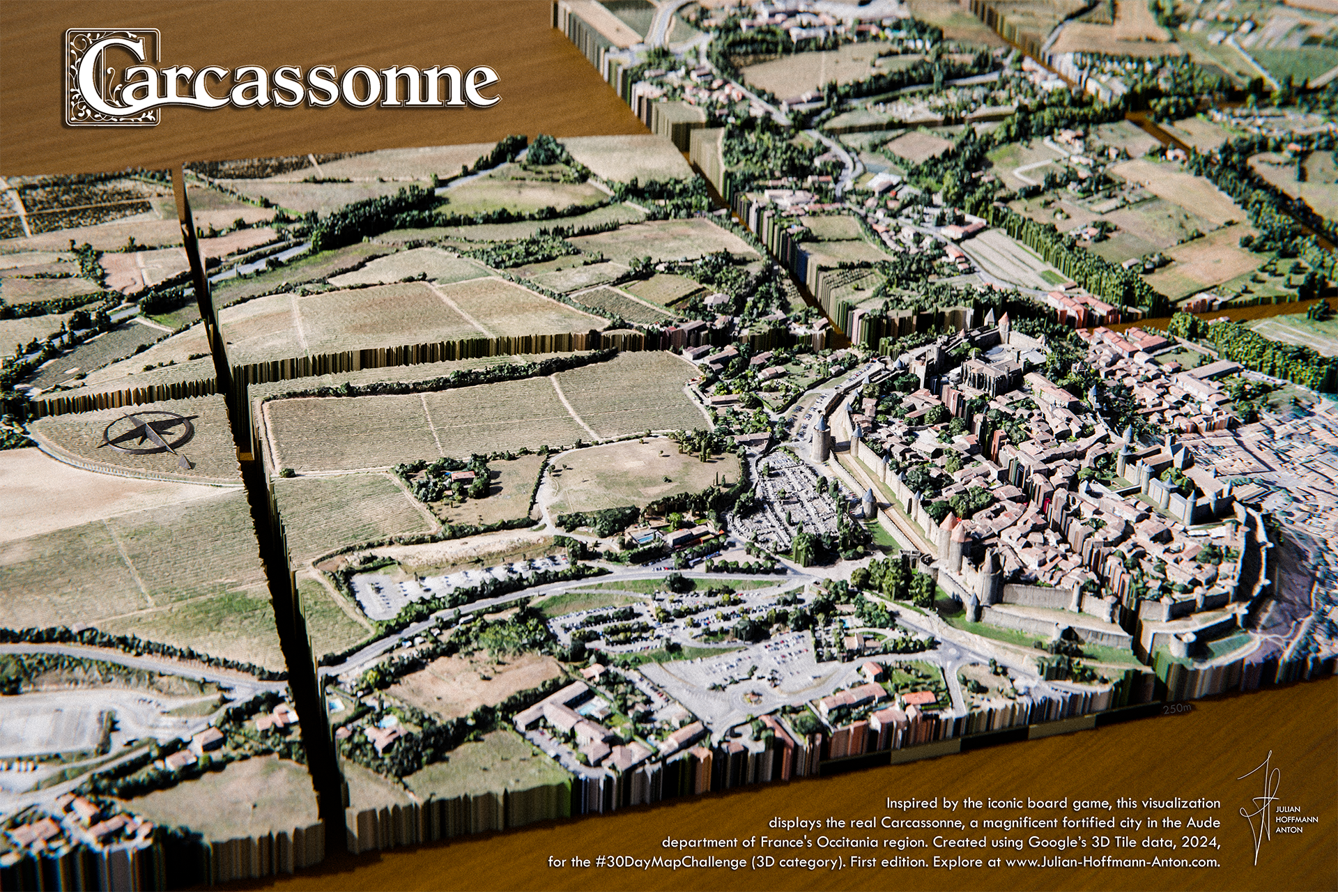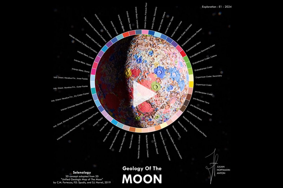
Julian Hoffmann Anton
is a creative Data Visualization Designer and Data Science Consultant, a specialist in 3D Data Visuals & Animations with a background in Economics & Urban Data Science. Aiming to make a positive impact on the world by presenting spatial data analytics through captivating visuals, including maps, networks, and charts. Always at the forefront of innovation, exploring cutting-edge open-source methods in 3D, Generative AI, Digital Art, and mixed media to transform the presentation of data.
German and Spanish, based in London, UK. Having lived in 8 countries around the globe he is now constructing real and imaginary worlds.
Studied a MSc in Smart Cities and Urban Analytics from the University College London (UK) and a BSc in Economics from Université Libre de Bruxelles (Belgium).